
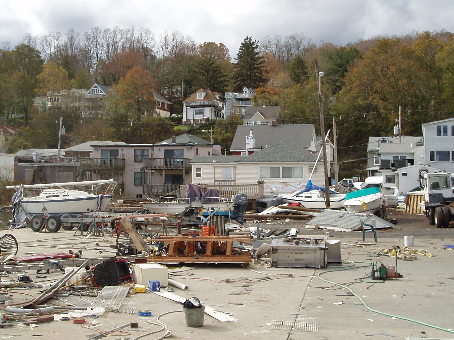
Coastal storms are among the world’s most costly disasters, with strong winds, flooding, and coastal erosion capable of harming critical infrastructure and natural resources.
The Hudson River Valley is highly vulnerable to coastal storms and their associated storm surges and rainfall flooding, with infrastructure like rail lines and sewage treatment plants at risk from flood elevations only a few meters above normal high tide levels.
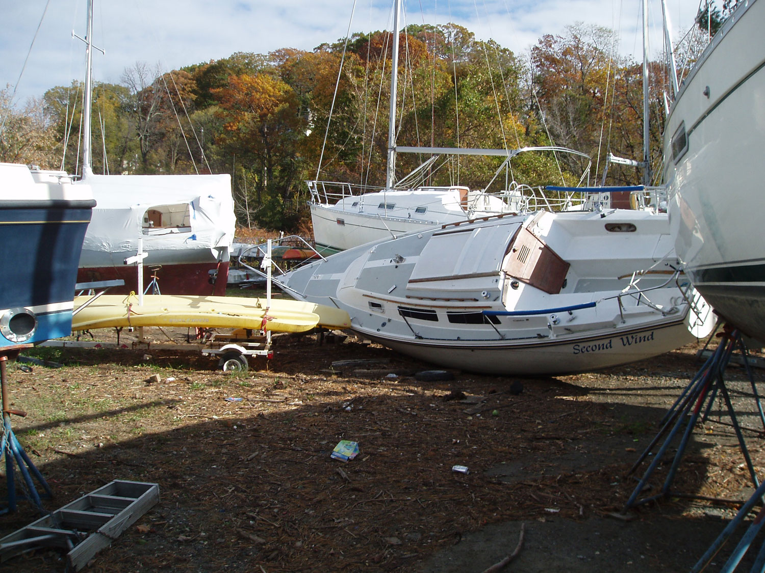 Even modest sea level rise can raise storm-driven flood levels and cause the loss of coastal wetlands and other ecosystems that provide habitat and natural buffers from storms.
With more frequent and severe storms expected, decision-makers need information that will help them better understand flooding risks so that they can build community resilience in the face of a changing climate.
Planning for the Future
 The Hudson River Flood Mapper can help users assess the impacts of flood inundation posed by sea level rise, storm surge, and rain events on communities bordering the lower Hudson River. The tool offers users a way to select a particular region of interest and predicted flood scenarios and then visualize the impact on community resources. Users will also be able to download maps and summary statistics on structures, populations, and critical facilities affected by specific predicted flood events.
This mapping tool will be a valuable resource for public officials, resource managers, and other decision-makers looking to:
-
Assess risk
-
Identify areas suitable for tidal wetland migration
-
Evaluate the cost/benefit of proposed climate change adaptation options

Stay Informed